

ARCHVIZMATS OSM Importer V1.0
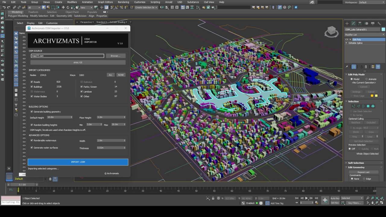
Bring OpenStreetMap data into Autodesk 3ds Max.
ARCHVIZMATS OSM Importer V1.0 is a free utility designed to simplify the process of importing OpenStreetMap (OSM) data into Autodesk 3ds Max.
Whether you’re creating architectural visualizations, urban environments, city context models, or exploring real-world locations, OSM Importer helps transform supported geographic data into editable 3ds Max scene objects.
Key Features
- Buildings: Generate 3D building geometry from supported OSM footprints, with randomized heights where applicable.
- Roads: Import road networks as editable splines.
- Water Bodies: Generate surface geometry for supported lakes and other closed water features.
- Waterways: Import mapped waterways as splines.
- Parks & Land Use: Import supported green areas and land-use boundaries as splines.
- Selective Import: Choose which supported categories to import.
- Source Summary: Review detected OSM data before starting the import.
- Simple Workflow: A straightforward interface designed for efficient importing.
Free for Personal & Commercial Use
ARCHVIZMATS OSM Importer V1.0 is available free of charge for personal, educational, and commercial production work.
Redistribution, resale, and repackaging of the software are not permitted without prior written authorization. See the included LICENSE.txt for complete terms.
Important Information
Imported results depend on the completeness and accuracy of the source OpenStreetMap data. Generated building heights should not be treated as verified real-world measurements.
OpenStreetMap data is subject to its own licensing and attribution requirements. When publishing work containing substantial OSM-derived content, provide appropriate attribution:
© OpenStreetMap contributors
OSM Importer is an independent ARCHVIZMATS product and is not affiliated with or endorsed by the OpenStreetMap Foundation or Autodesk.